Trefonen
  • Home
  • Our Area
    • Trefonen's Past
    • Industrial Period
    • Walking
    • Accommodation
    • Transport Links
    • Village Design Statement
    • Trefonen Hill Walk History
  • Wildlife Friendly...
    • Natures Calendar
    • Activities >
      • Build a Bug Hotel
      • Draw a bird
      • Cleaning Bird Feeders
      • Make a Beetle Bucket
      • Make an Apple Bird Feeder
      • My Street Tree
    • Identification
    • Orchids
    • Fungi
    • Berries
    • Autumn Wildlife Gardening
    • Winter & Early Spring Flowers
  • Amenities
    • Village Hall and Field >
      • The Field >
        • Playing Field Calendar
      • The Hall
      • Village Hall Booking Form
    • All Saints' Church >
      • Church Home Page
      • Support
      • Coronavirus - Offers of Help
    • Village Shop
    • The Barley Mow >
      • Pub
      • Restaurant
      • Offas Dyke Brewery
      • Contact
      • Gallery
  • What's on...
    • Regular Activities
    • Clubs and Societies >
      • WI >
        • WI Meeting Reports
        • 2021 Meeting Programme
        • Meeting Information and Membership
    • What's On Now...
    • Flicks In the Sticks
  • Lights Out Trefonen (WW1)
    • Book Available
    • About
    • WW1 Centenary Trails >
      • WW1 Centenary Trail Maps
    • Database
    • Trefonen War Memorial >
      • Trefonen Memorial Roll of Honour
      • John Vaughn Campbell VC
    • Nantmawr British School Roll of Honour
    • Park Hall Camp
    • German Prisoner of War Camp >
      • German Military Cemetery >
        • World War 1 Photo Gallery
    • Photos 2014
  • Contact


Where Are We?


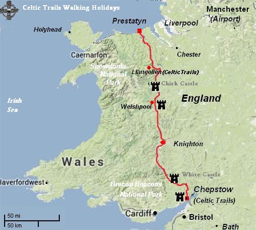
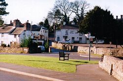
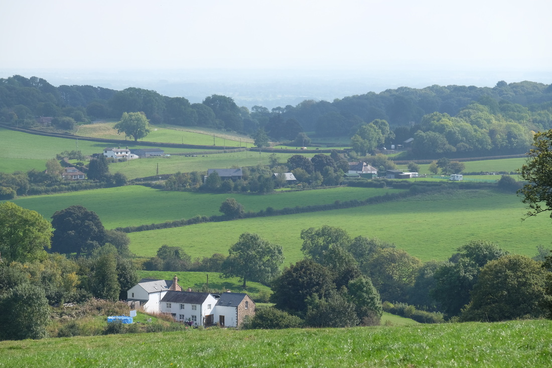
Trefonen, Treflach and Nantmawr are situated between three to five miles SW of Oswestry in the County of Shropshire.  Offa's Dyke, a unique and significant historical feature, winds its way through these villages although the road between Trefonen and Treflach follows the original earth work.  The names reflect the close proximity to the border with Wales.  They are situated in the area designated as the Oswestry Uplands and all of the countryside immediately surrounding them was designated as an Area of Special Landscape Character. 

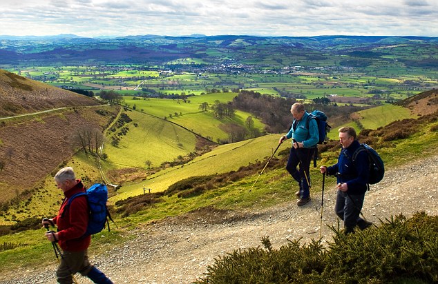
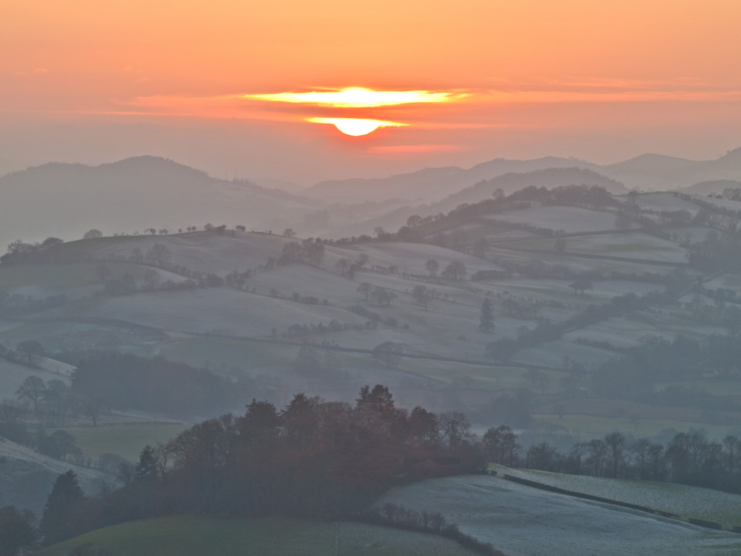
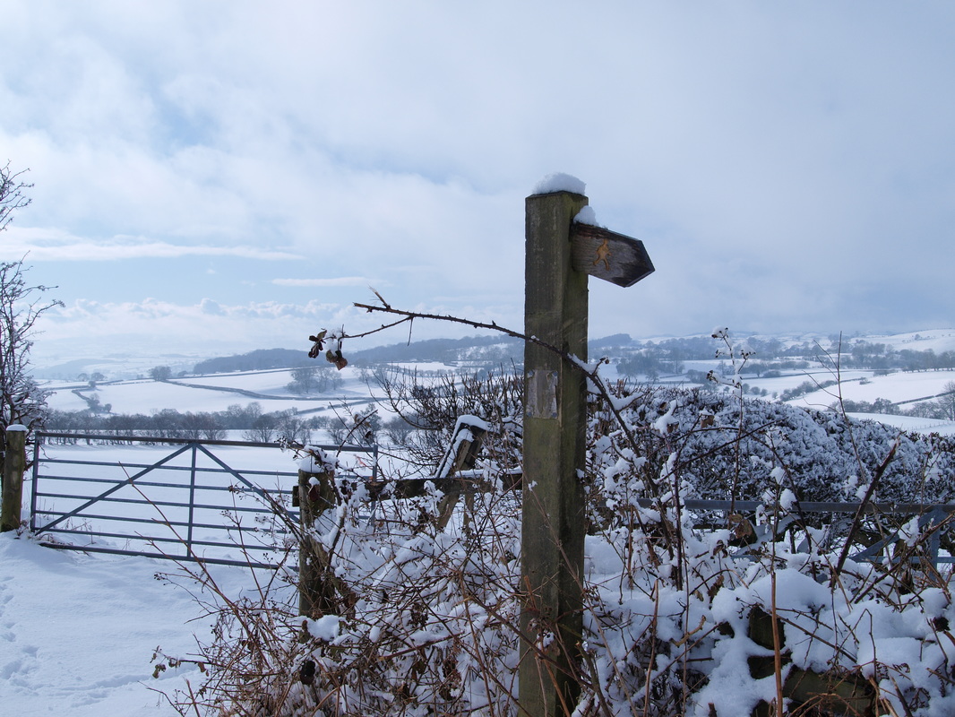
The villages nestle between the Shropshire Plain and the Welsh Hills and it is considered a prime example of a dramatic landscape marking the transition from lowland to upland.  The highest point is a hill above Trefonen at 341 metres, and the lowest point is at 135 metres in Nantmawr.  The difference causes the roads and lanes to be steep and twisting, but it also contributes to the many spectacular views in and out of the settlements.

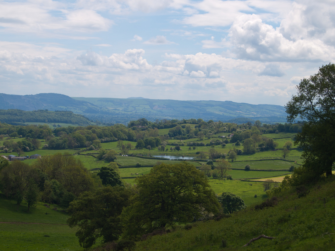
Trefonen lies close under the eastern slope of a ridge running north-south to the west of Oswestry.  The nearby summit of Mynydd Myfyr is just over a mile from the village centre from which there are clear views across Trefonen.  A little over half the village is sited on the hillside, whereas the remainder is sited to the east of the main road and bounded by open and flatter farmland.  This is crossed from west to east by Trefonen Brook forming a significant and important valley for wildlife. An area of mixed woodland, Bwyltai Wood, of further natural and wildlife importance, owned by Shropshire Wildlife Trust, lies on the  southern slope of the valley, near to the village.


Walking
Transport Links
Accommodation